People intuitively understand the physical world. We know that if a friend tells us their street address without mentioning their apartment number, and later repeats their address with the apartment number, that they’re still referring to the same building.
Machines don’t share this physical intuition. Software often misinterprets data about physical places because the information is not provided in a standard format. A computer might conclude your friend lives in two different locations, not realizing they were describing the same place two different ways. Similarly, when a business moves or a street name changes, there isn’t a common record to keep the physical places straight. Worse, different software interprets inputs differently, and when multiple systems interact—for example, when the Lyft app gives directions to your driver or when a sociology researcher compares federal, state, and county records for a particular town—errors multiply.
Different datasets represent “place data” differently, and therefore can’t be combined or requires some data wrangling which takes up time. This is a big problem for businesses, governments, and academic researchers who need to pull geospatial information from multiple sources in order to answer questions and make decisions. Here at Epistemix, we grapple with this challenge every day as we leverage place data to simulate how epidemics spread through communities.
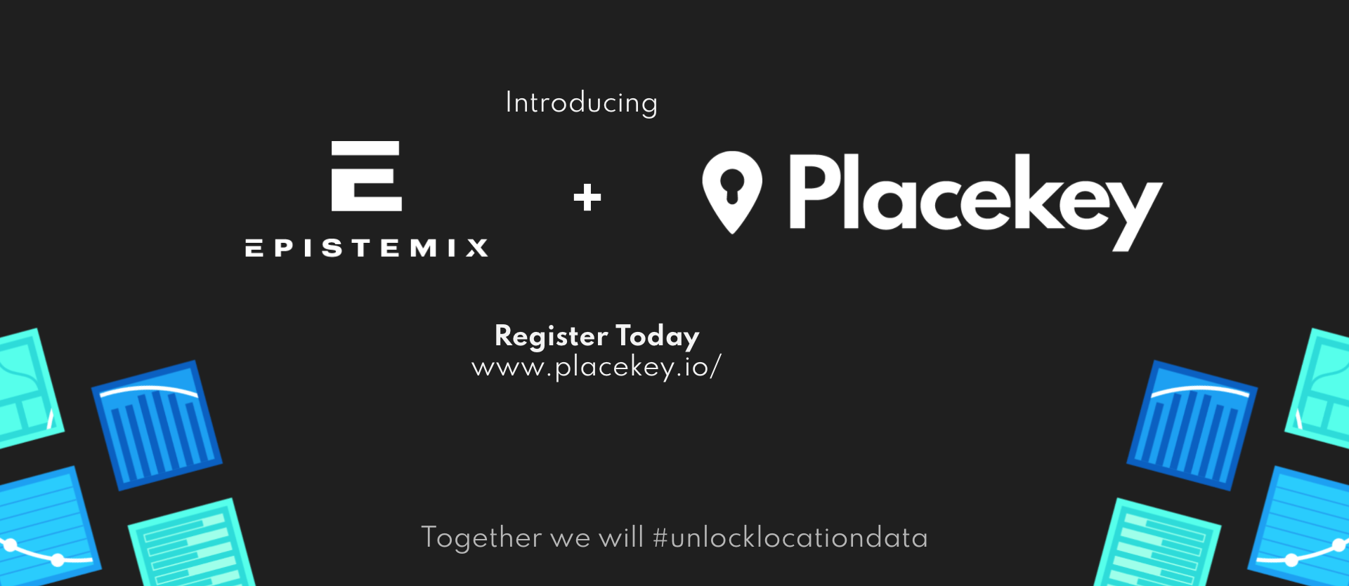
Enter Placekey, a free, common ID for all physical places in the world established to encourage data sharing and accelerate innovation. Placekeys themselves are short, legible codes that describe places and their respective geospatial locations. This single, shared identifier for geospatial data unlocks the opportunity to combine datasets and create a holistic view of all the information related to particular locations.
But Placekey is more than just a snippet of code. As the organization says, “Placekey goes beyond just an identifier. It’s a movement of organizations and individuals that prize access to data. Placekey members want geospatial data that is easily joined and combined… because real answers come from combining data from many different sources. It is a philosophy that data should be easy to access and data should not be hoarded. These members believe that data, when combined, can do massive good.”
Placekeys become more valuable the more widely they are used, which is why Epistemix is proud to join Placekey as a founding partner alongside Esri, SafeGraph, Carto, and Landgrid. In the space of a few weeks, more than 500 organizations have signed on to support this new industry standard.
We are already seeing results in our work with government agencies, school districts, and health systems to use computational modeling to analyze and compare the impacts of COVID-19 response strategies. With Placekey, we can finally all speak the same geospatial language.